How To Find The Depth Of Water?
Finding the depth of water is a common requirement in various fields such as marine navigation, environmental science, and civil engineering. Whether you are a professional working in these areas or a hobbyist interested in understanding water bodies better, knowing how to measure water depth accurately is crucial. This article will explore different methods for determining water depth, their applications, and the tools required for each method.
Traditional Methods
1. Sounding Line
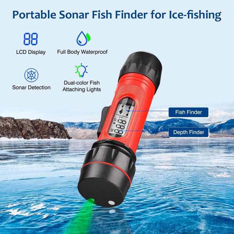
The sounding line is one of the oldest methods for measuring water depth. It involves lowering a weighted line into the water until it touches the bottom. The depth is then read off the line. This method is simple and cost-effective but can be time-consuming and less accurate in deeper waters.
Applications:
- Small-scale surveys
- Shallow water bodies
- Historical data collection
Tools Required:
- Weighted line
- Measuring tape or marked line
Procedure:
1. Lower the weighted line into the water.
2. Allow it to sink until it touches the bottom.
3. Measure the length of the line that has submerged.
2. Pole Sounding
Pole sounding is another traditional method where a marked pole is used to measure the depth. The pole is inserted into the water until it hits the bottom, and the depth is read from the markings on the pole.
Applications:
- Shallow waters
- Quick depth checks
Tools Required:
- Marked pole
Procedure:
1. Insert the pole into the water.
2. Push it down until it hits the bottom.
3. Read the depth from the markings on the pole.
Modern Methods
1. Echo Sounding
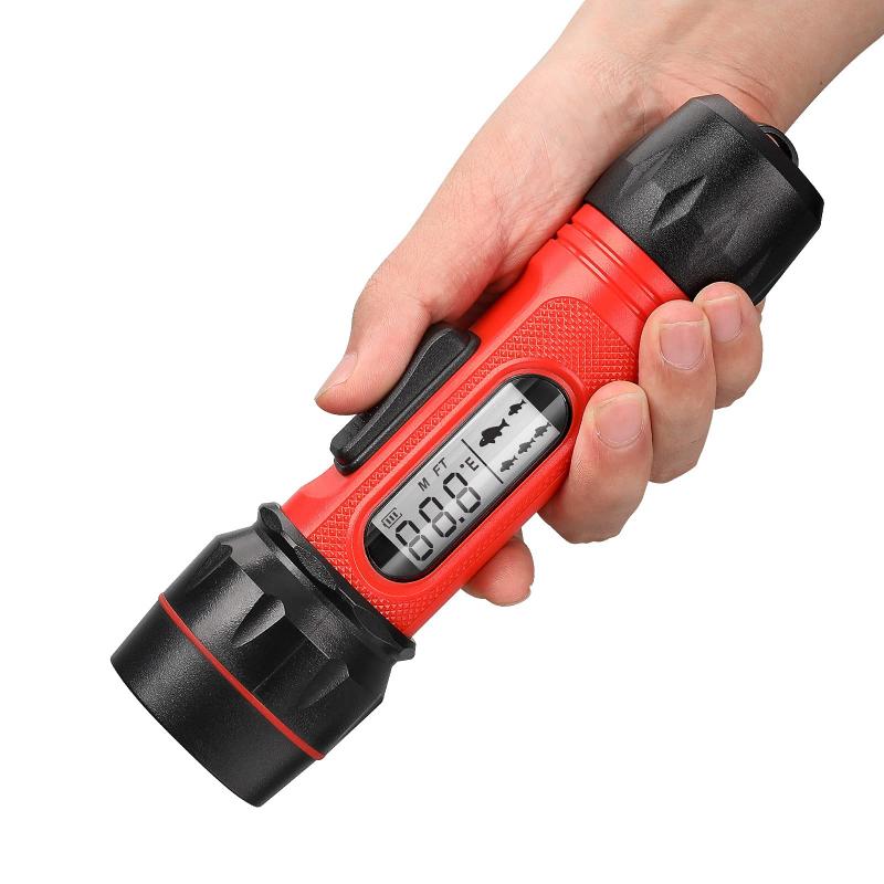
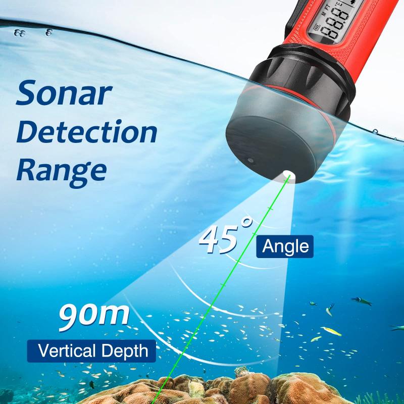
Echo sounding, also known as sonar, is a modern technique that uses sound waves to measure water depth. A transducer emits sound waves that travel to the bottom and reflect back. The time taken for the sound waves to return is used to calculate the depth.
Applications:
- Marine navigation
- Deep water surveys
- Fish finding
Tools Required:
- Echo sounder or sonar device
Procedure:
1. Install the transducer on the boat.
2. Turn on the echo sounder.
3. The device will emit sound waves and calculate the depth based on the time taken for the waves to return.
2. GPS and Depth Sounder Combination
Combining GPS with a depth sounder provides not only the depth but also the exact location of the measurement. This method is highly accurate and useful for creating detailed maps of water bodies.
Applications:
- Hydrographic surveys
- Environmental studies
- Construction projects
Tools Required:
- GPS device
- Depth sounder
Procedure:
1. Install both the GPS and depth sounder on the boat.
2. Turn on both devices.
3. Record the depth and location data simultaneously.
3. Remote Sensing
Remote sensing involves using satellite or aerial imagery to estimate water depth. This method is less direct but can cover large areas quickly.
Applications:
- Large-scale surveys
- Environmental monitoring
Tools Required:
- Satellite or aerial imagery
- Image processing software
Procedure:
1. Obtain satellite or aerial images of the water body.
2. Use image processing software to analyze the images and estimate the depth.
Specialized Methods
1. Diver Depth Measurement
In some cases, divers are used to measure water depth directly. This method is highly accurate but can be dangerous and expensive.
Applications:
- Underwater construction
- Detailed inspections
Tools Required:
- Diving gear
- Depth gauge
Procedure:
1. Equip the diver with the necessary gear.
2. The diver descends to the bottom.
3. The depth is read from the depth gauge.
2. Pressure Transducers
Pressure transducers measure water depth by detecting the pressure exerted by the water column above the sensor. This method is highly accurate and can be used in various conditions.
Applications:
- Scientific research
- Industrial applications
Tools Required:
- Pressure transducer
- Data logger
Procedure:
1. Install the pressure transducer at the desired location.
2. The transducer measures the pressure and converts it to depth.
3. Data is logged and analyzed.
Choosing the Right Method
The choice of method depends on several factors, including the depth of the water, the accuracy required, the scale of the survey, and the available budget. Here are some guidelines to help you choose the right method:
- Shallow Waters: For shallow waters, traditional methods like sounding lines and pole sounding are often sufficient. These methods are cost-effective and easy to use.
- Deep Waters: For deeper waters, modern methods like echo sounding and GPS-depth sounder combinations are more suitable. These methods provide higher accuracy and can cover larger areas.
- Large-Scale Surveys: Remote sensing is ideal for large-scale surveys where covering a vast area quickly is essential. However, it may require specialized software and expertise.
- High Accuracy: For applications requiring high accuracy, such as scientific research or underwater construction, pressure transducers and diver measurements are recommended.
Practical Considerations
When measuring water depth, several practical considerations should be kept in mind:
- Calibration: Ensure that all equipment is properly calibrated before use to ensure accurate measurements.
- Environmental Conditions: Factors such as water temperature, salinity, and turbidity can affect the accuracy of measurements. Adjustments may be needed based on these conditions.
- Safety: Always prioritize safety, especially when using methods that involve diving or working in deep waters.
- Data Recording: Accurate data recording is crucial for analysis and future reference. Use data loggers or manual recording methods as needed.
Measuring the depth of water is a fundamental task in various fields, and several methods are available to achieve this. From traditional techniques like sounding lines and pole sounding to modern methods like echo sounding and remote sensing, each method has its advantages and applications. By understanding the different methods and their appropriate use cases, you can choose the best approach for your specific needs. Whether you are conducting a small-scale survey or a large-scale environmental study, accurate depth measurement is essential for successful outcomes.









There are no comments for this blog.